Distance and Measurement Sensors
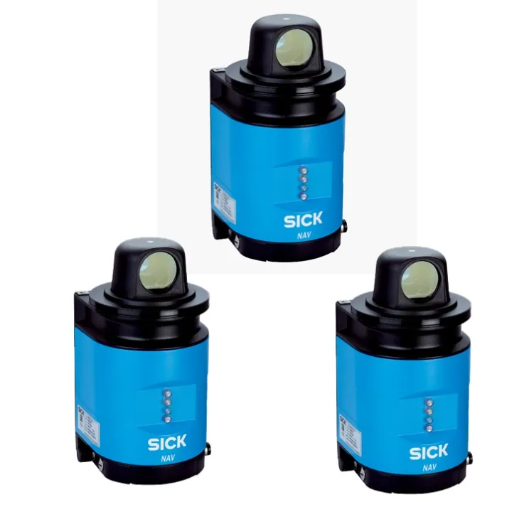
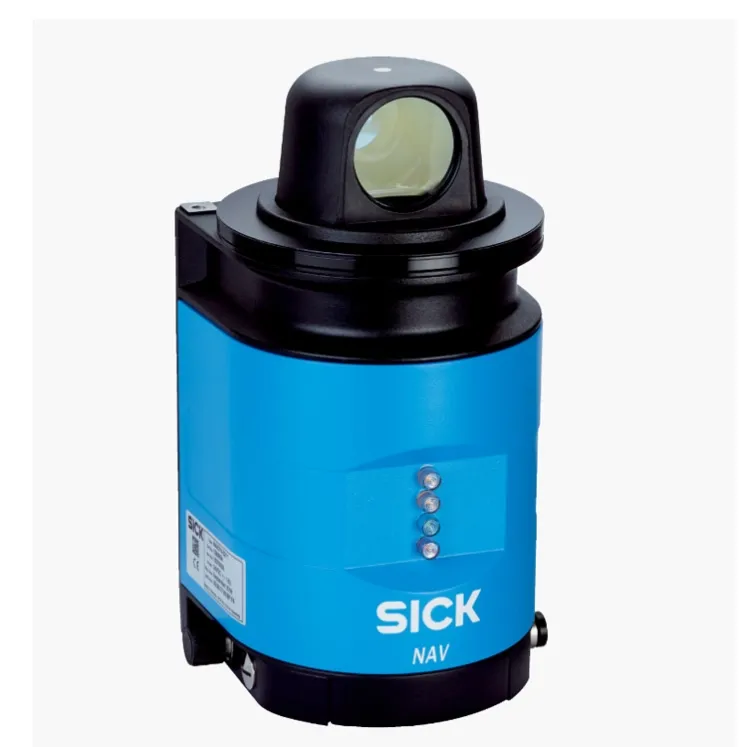
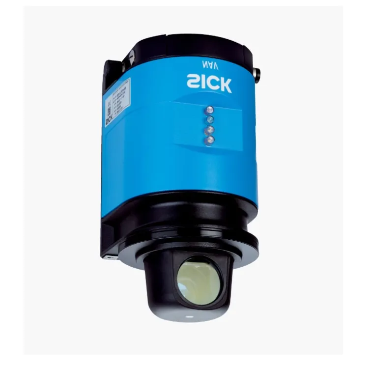
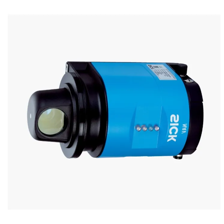
SICK NAV350-3232 Sensor
SICK NAV350-3232 navigation LiDAR, part 1052928. 360-degree localization and navigation for AGVs, shuttles and mobile robots.
Overview
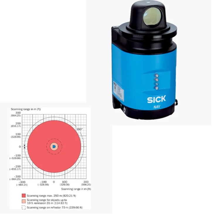
The SICK NAV350-3232 (part number 1052928) is a navigation LiDAR sensor for the localization and navigation of automated guided vehicles and mobile robots. It scans its surroundings in 360 degrees and determines the vehicle position from natural landmarks or reflectors, providing precise navigation data on board the vehicle.
How It Works
The sensor continuously scans the horizontal plane with laser pulses and measures the distance to reflectors or the natural contours of the environment. From this data it calculates the vehicle's exact position and orientation, which the vehicle controller uses for path guidance. The NAV350 combines measurement and navigation evaluation in one unit.
Key Features
- 360-degree scanning for vehicle localization
- Natural landmark and reflector-based navigation
- Onboard position calculation for AGV guidance
- Part number 1052928
- High angular precision for accurate path following
- Robust design for industrial vehicle operation
Typical Applications
- Navigation of automated guided vehicles in production logistics
- Positioning of autonomous mobile robots on known maps
- Localization of shuttles and transfer cars in warehouses
- Docking precision for load handling stations
- Guidance of heavy transport vehicles on fixed routes
Specifications
Attribute | Value |
|---|---|
Model | SICK NAV350-3232 |
Part number | 1052928 |
Detection principle | 360-degree LiDAR localization and navigation |
Family | NAV350 navigation sensors |
Installation and Setup Notes
Mount the sensor horizontally on the vehicle with a clear 360-degree view, and survey the operating area to create the navigation map or reflector layout. Verify localization accuracy at defined reference points across the site. Keep the window clean, as dust directly affects scan quality.
Frequently Asked Questions
Does it need reflectors?
The NAV350 can navigate on natural landmarks; reflectors improve precision and are used where the environment changes frequently.
Can one sensor serve a whole fleet?
Each vehicle carries its own sensor; the maps and layouts are shared across the fleet.
How precise is the localization?
Localization precision is in the millimeter-to-centimeter class depending on environment and setup, sufficient for docking and path guidance.
Related Distance and Measurement Sensors
For 3D object perception, see the SICK MRS1104P-111011. For compact vehicle scanning, see the SICK TIM320-0131000S02.